TinyClimbs
Underground Railroad Map and Decision Activities
Free printable from tinyclimbs.com
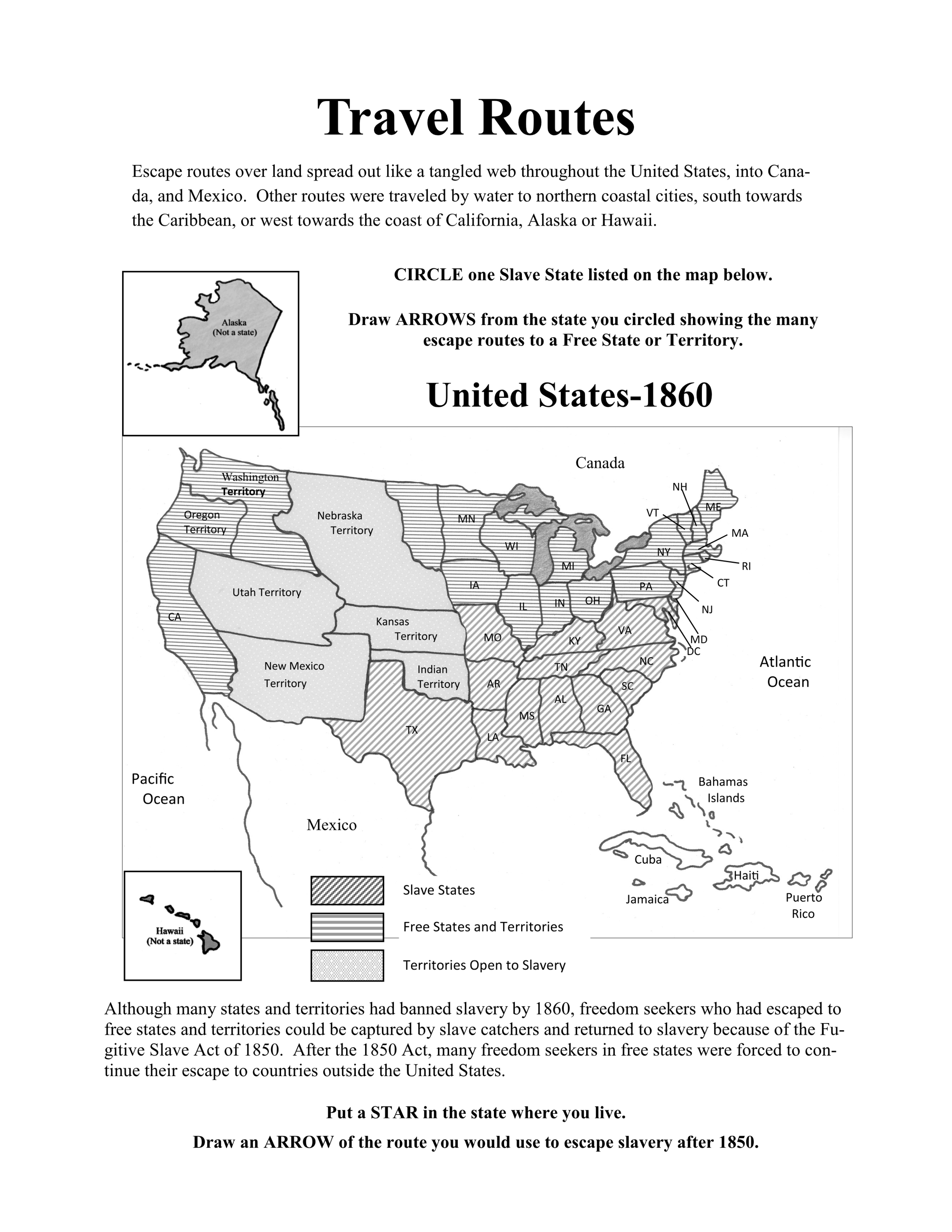
An 1860 United States map activity where children identify slave and free states and map out escape routes.
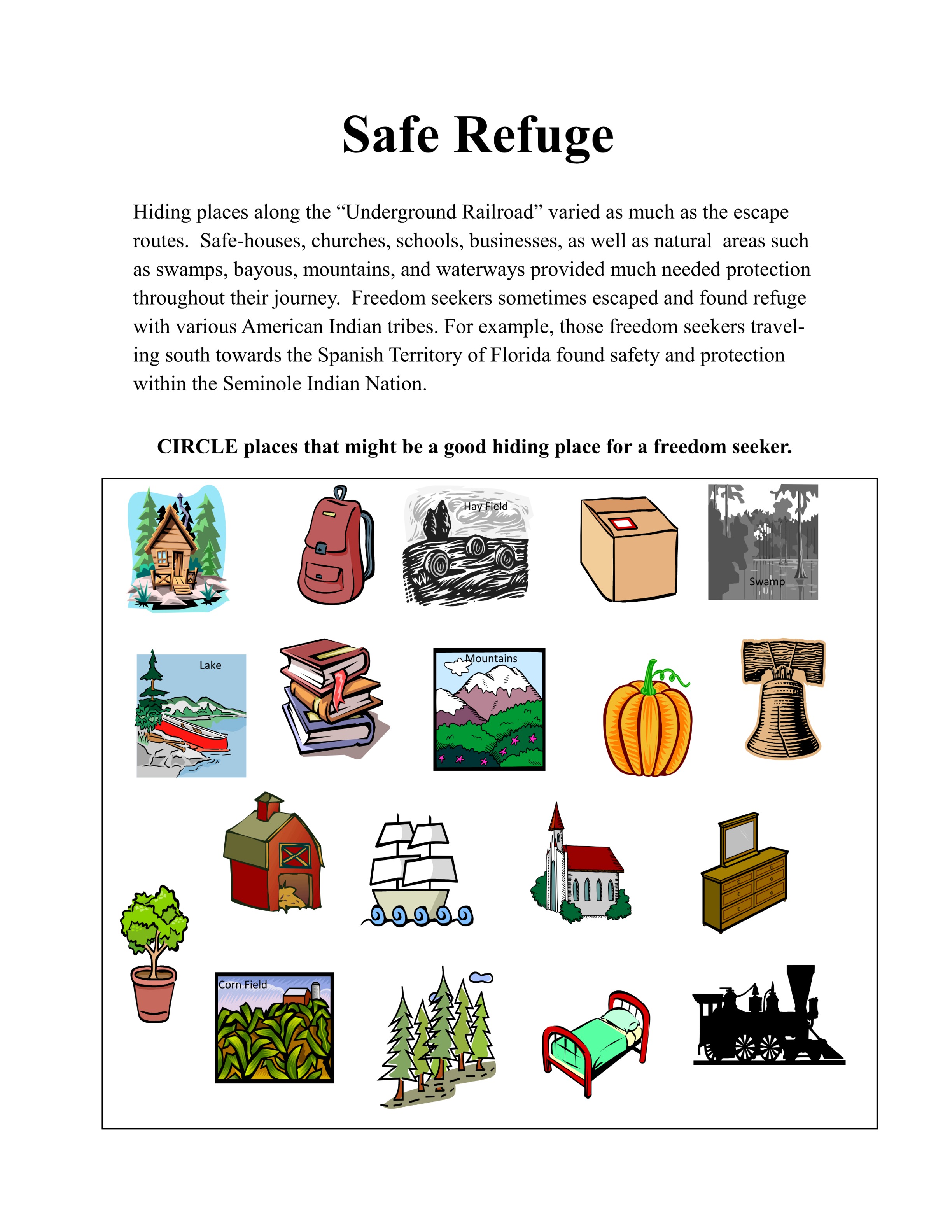
A visual worksheet where kids circle safe hiding places, such as swamps, forests, and safe houses, from a grid of options.
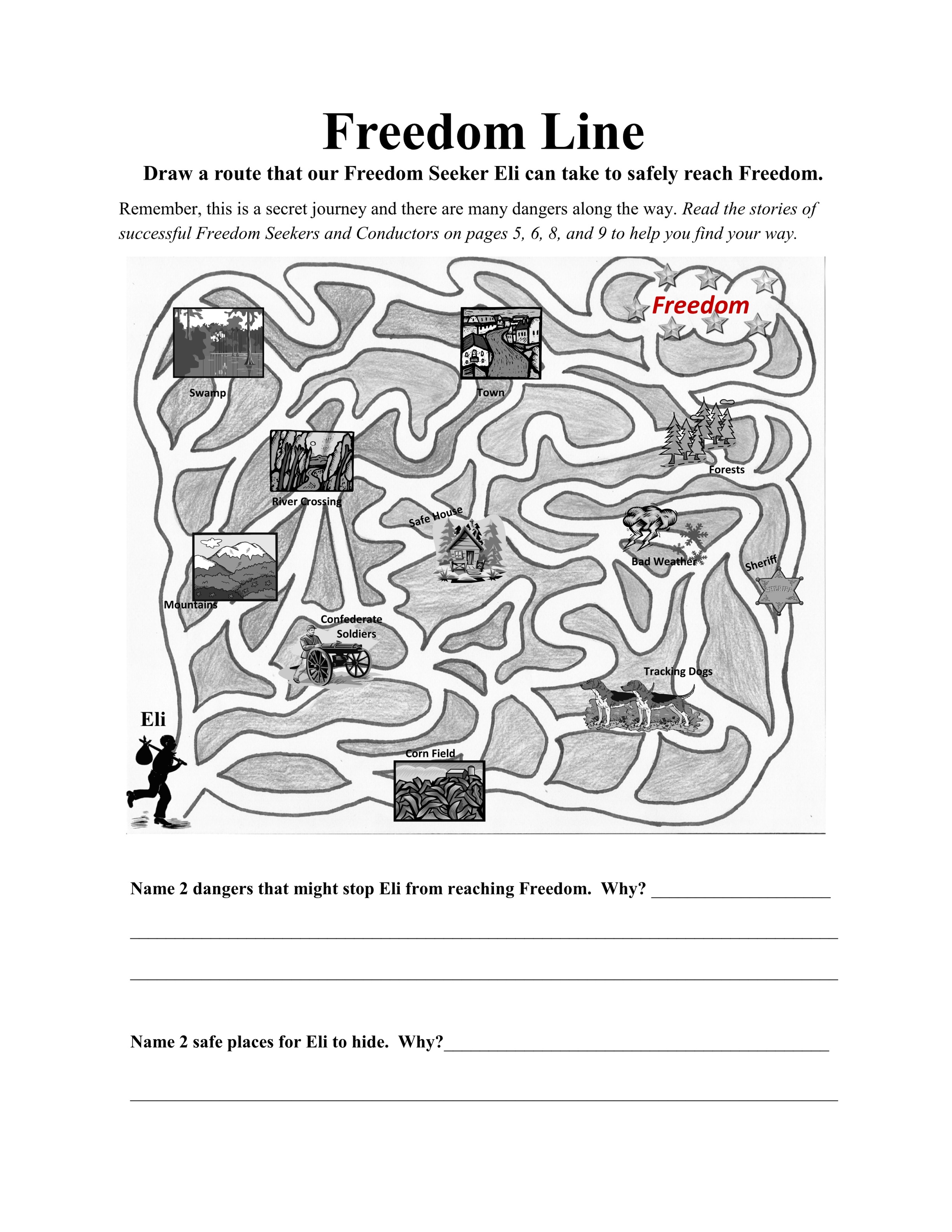
A path-finding maze representing the journey to freedom, complete with writing prompts about potential dangers and safe havens.